
Training
More than consultancy: we provide tailor-made, interactive metocean engineering courses, workshops and master classes for the industry, teaching best practice in offshore and coastal engineering applications. We offer four courses.
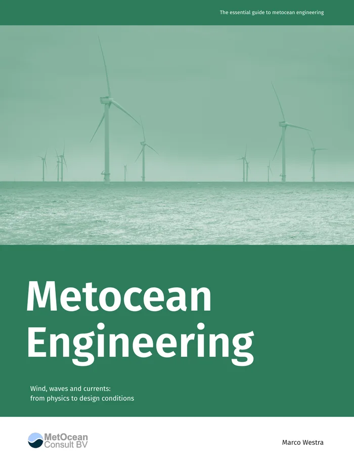
Metocean Engineering
Wind, waves and currents: from physics to design conditions
What do wind, waves and currents mean for an engineering decision? Metocean Engineering covers the physics and statistics between the data and the numbers a project needs:
- validating data
- numerical modelling
- the physics of wind and waves: spectra, individual waves and crests, wind profiles and turbulence
- long-term climate, persistence and workability
- extreme values, joint extremes, environmental contours and the rules of the design standards
The course consists of three parts: a. Atmospheric and oceanographic phenomena and processes, b. Tools and techniques and c. Applications.
It explains why the methods work, what they assume and where they stop being valid. This course handles the fundamentals and can be followed up by Metocean Data Sources and The Metocean Cookbook.
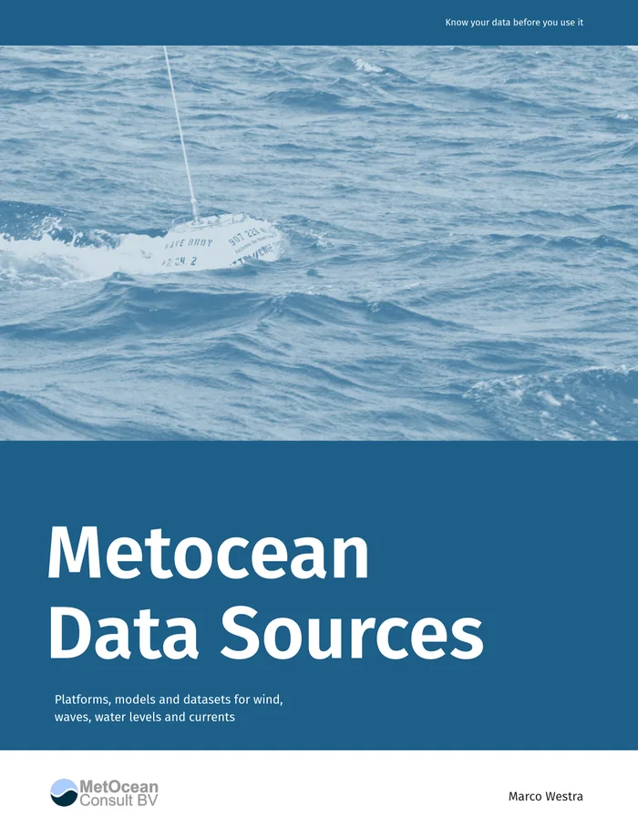
Metocean Data Sources
Platforms, models and datasets for wind, waves, water levels and currents
Every metocean analysis begins with a choice of data. Metocean Data Sources describes the reanalyses, hindcasts, forecasts and observations behind today's metocean work:
- who produces them, and with which models
- grids and time steps, coverage and periods
- their parameters and where to get them
It explains the difference between reanalysis, hindcast and forecast, and why a wave height or a water level from two sources can differ at the same site. It gives standard names and units for every parameter. It is the companion to The Metocean Cookbook: the cookbook shows how to get and use the data; this book explains what the data is.
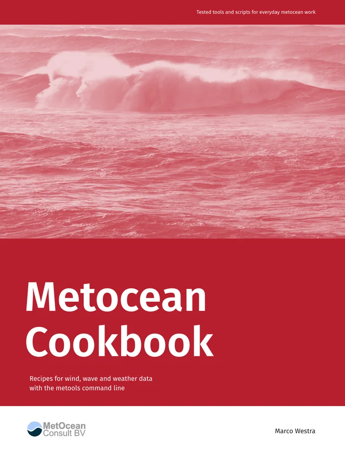
The Metocean Cookbook
Recipes for wind, wave and weather data from the command line
How do you turn ocean, wind, wave and weather data into a useful answer? The Metocean Cookbook follows the steps of a metocean study:
- getting the data
- validating it
- modelling
- physical analysis
- climate and extremes
- reporting
Every recipe states a problem, gives a solution that works when copied as it is, and discusses why it works and what can go wrong. The recipes use a set of command-line tools, run with a single command. Each recipe also comes with a runnable script, so you can try it on real data in minutes.
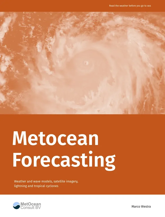
Metocean Forecasting
Weather and wave models, satellite imagery, lightning and tropical cyclones
Every operation at sea depends on the weather of the next hours and days: wind, waves, squalls, lightning and, in the tropics, the storms that grow out of a cluster of clouds. The data to see them coming are open and free. Metocean Forecasting shows how to get these data for any sea area, how to present them, and how to read them:
- global and regional weather models, and how to compare them
- wave models: wave height, period and swell direction
- geostationary and polar-orbiting satellite images, and how to read clouds, convection and air masses
- lightning, precipitation and weather radar
- tropical cyclones: from a developing disturbance to a hurricane at peak intensity
- from data to decision: forecast availability, planning horizons and a daily weather briefing
Each part combines the science behind a source (how a model is run, what a satellite channel measures, how a tropical cyclone forms) with hands-on exercises on real data. The course is meant for metocean engineers, planners of marine operations and forecasters in training; no background in meteorology or remote sensing is needed.
Tailor-made courses and workshops
Every course is tailored to your organisation and your team's experience, as a course, a hands-on workshop or a master class.
Please contact us if you think we can add value to your organisation. We tailor our expertise to your company's specific needs.