
Site assessments
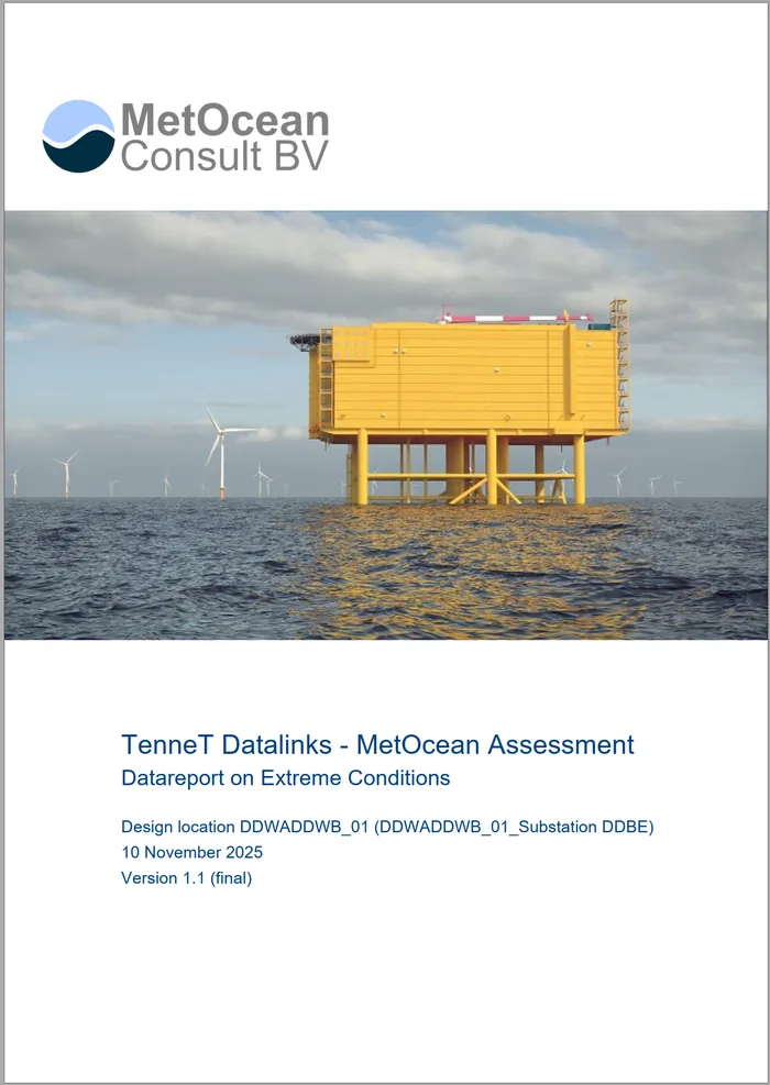
A site assessment gives a reliable first picture of the metocean conditions at a location: wind, waves, currents and water levels, for site selection, feasibility and early design.
Rapid site assessments for any location
Long-term time series of wind, waves, currents and water levels are the basis of site assessments, feasibility and design studies for offshore wind farms, substations and subsea cables.
Through access to several long-term, high-resolution oceanographic databases, we can provide rapid site assessments for any location. Where needed, hindcast data are corrected for cyclone conditions.
Metocean statistics and reporting
We routinely produce, among others:
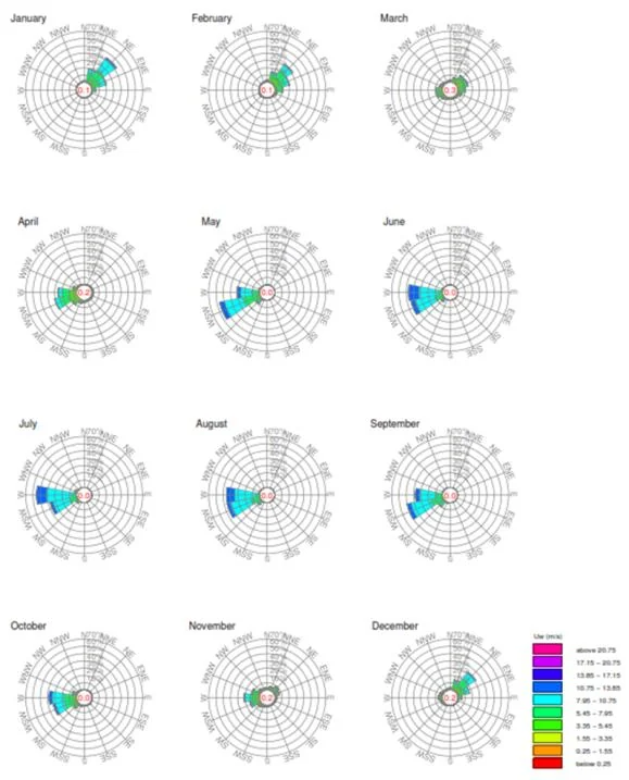
- Annual, monthly and seasonal wind and wave roses
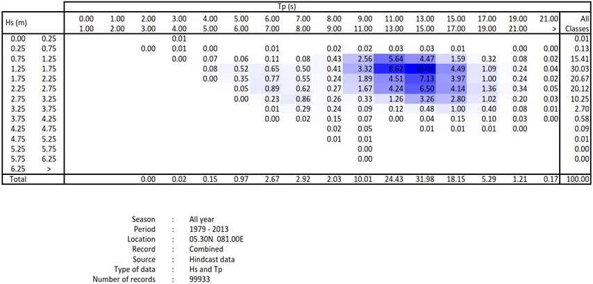
- Climate tables of (directional) joint probability and exceedance, e.g. wave height against direction or period, wind speed against wave height
- Tables of mean values, e.g. wind speed per class of wave height and direction
- Monthly and annual statistics, such as mean, 90% non-exceedance and maxima
- Wind and wave persistence tables for any number of user-defined seasons, thresholds and durations
Extreme design criteria
We provide extreme wind, wave, current and water level criteria for offshore and nearshore areas, such as the 10, 50 and 100-year return period values. Every project needs a site-specific analysis of the key metocean processes. In nearshore areas the criteria are derived with numerical wave and flow models such as SWAN, MIKE 21, Delft3D and D-Flow FM, run in coupled mode where needed.
The extreme value analysis is done with the EVA module of our in-house MetOcean Analytics Toolbox, which offers a wide range of methods:
- Global models using all data (e.g. cumulative distribution approach) as well as event-based models (Peak Over Threshold, Annual Maxima)
- A choice of distributions, such as Weibull, Exponential, Generalised Extreme Value and Pareto
- Confidence intervals by bootstrapping
- Seasonal, directional and threshold analysis
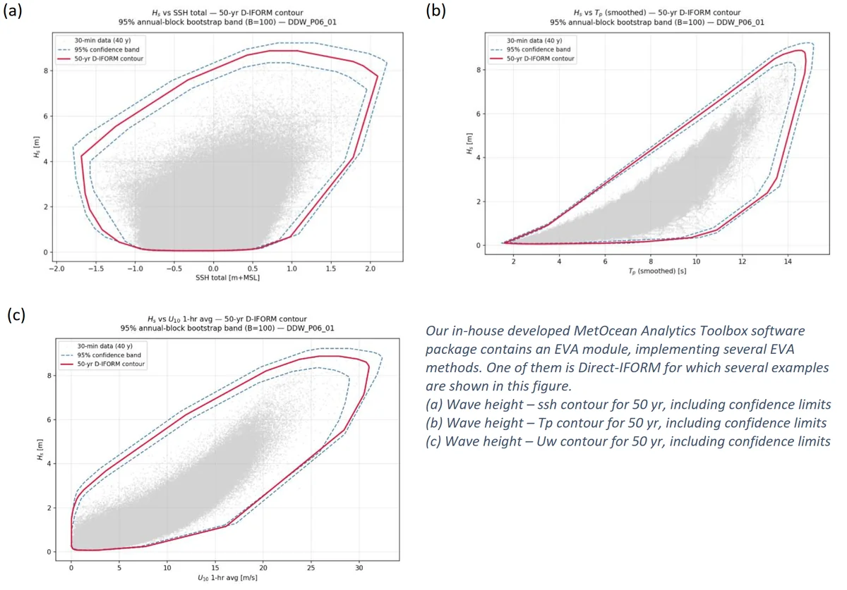
- Joint extremes with IFORM and Direct-IFORM environmental contours, for any combination of parameters
Tropical cyclones
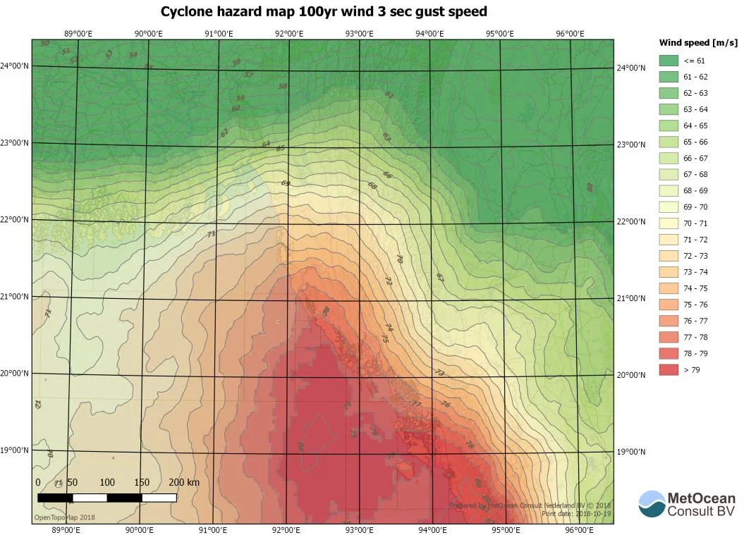
At mid and high latitudes, extreme criteria can often be based on archived satellite and hindcast data. Tropical cyclones, however, are not resolved well by global wave hindcasts and atmospheric models, and information on historical storms is often limited.
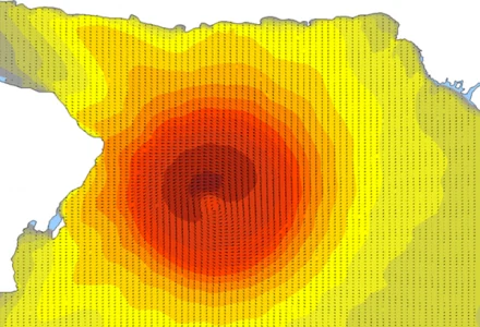
We have therefore developed a method that supplements the hindcast data with high-resolution wind and wave modelling of tropical cyclones, based on historical storm track data. The method:
- gives robust and reliable estimates of extreme deep-water wind and wave criteria;
- makes optimum use of all available data, based on storm characteristics representative of the area;
- allows the criteria to be refined, reducing uncertainty and saving cost;
- has been applied successfully in offshore, port and coastal projects.
← All services · Questions? marco [at] metoceanconsult.com · +31 6 3310 2554