
Data services
Accurate and reliable data are the basis of every metocean study, model study or advice.
We have extensive experience in developing and applying a wide range of metocean data sets, and we know their limitations and how to account for them. In addition to archive data from reanalysis databases, we develop our own hindcasts, from basin scale to local wind farm scale. Where available, all data are validated against buoy or satellite measurements before they are delivered.
Global wind and wave data
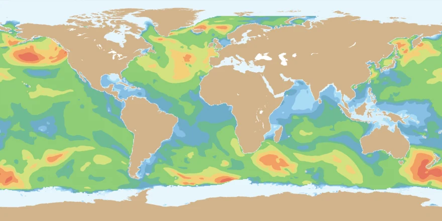
We maintain global and regional hindcast wind and wave databases, both developed in-house and produced by third parties with large-scale third-generation wave models. Global wave data computed with WAVEWATCH III are available from January 1979 to date at a resolution of 0.5° × 0.5°.
Advances in remote sensing, high-performance computing and wave modelling now allow highly accurate and detailed hindcasts, validated with satellite or in-situ measurements.
Regional hindcast models
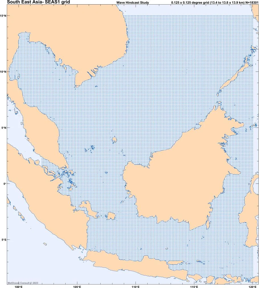
The global database is supplemented with our own high-resolution regional wave and flow hindcast models, forced by reanalysis wind fields at about 0.3° and 0.2° resolution for 1979 to date. Their wind and wave data are validated against satellite scatterometer and altimeter data or in-situ measurements. Regional models have been developed for:
- North Sea and Baltic Sea
- Mediterranean Sea and Black Sea
- Arabian Gulf, Arabian Sea and Bay of Bengal
- Northern Atlantic and South East Asia
The world map on our Projects page shows the domains of all our in-house wave hindcast models.
New models are developed on a regular basis. Please contact us to discuss the possibilities.
API service
For projects, we produce dedicated, detailed high-resolution hindcasts for the site. Project teams can access these data through a web server, or directly through an API from their own software and workflows.
This way, designers, analysts and planners always work with the same, latest validated data set, without exchanging files.

Oceanographic data
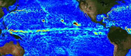
We provide ocean reanalysis data at any location or as fields, from a global 1/12° ocean model covering 1992 to date: 3D currents, sea surface height, sea water temperature, salinity and ice cover. We also have access to global ocean forecasts up to 168 hours ahead.
Atmospheric data
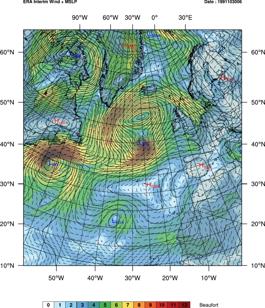
Long-term global atmospheric reanalysis data (ECMWF, NOAA) are available from January 1979 to date, including wind and pressure fields, air temperature and precipitation.
For wind-related studies we work with dedicated partners, for example for atmospheric downscaling with WRF, guidance on wind measurement campaigns, wind resource assessments and wind farm layout optimisation.
← All services · Questions? marco [at] metoceanconsult.com · +31 6 3310 2554