Data and information services
Accurate and reliable data are the basis of every metocean- and numerical model study or advice. At MetOcean Consult, we have developed an in-house database that contains validated meteorological- and oceanographic observation and hindcast data with global coverage. The hindcast database contains both publicly available data as well as data produced with our own hindcast models.
The database is maintained through an interface which connects on regular time intervals and upon request to our servers and other data sources. We deliver the following data:
Observation data
Measurements will continue to remain the most accurate source of metocean information. For this reason, as a first source of information and for validation of any numerical data source, we’ve developed an in-house database that contains observation- and measurement data from various sources.
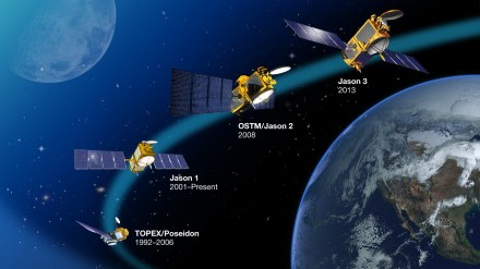
- Satellite altimeter data (1991 to date)
- Satellite scatterometer data (1999 to date)
- Longterm observational data from over 6000 weather stations worldwide
- Buoy measurements
- Longterm ship’s observation data
Archived wind- and wave data
- In our wind- and wave climate studies, we use reanalysis data from NOAA (global model) or our inhouse-developed models.
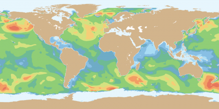
- Longterm hindcast data produced with WaveWatch-III ™ are available for the period January 1979 to date on a global grid at ~0.3 x 0.3 degrees.
- In addition to the hindcast data supplied by NOAA, we develop our own regional wave- and flow hindcast models.
- To ensure the overall accuracy, all hindcast data are validated against longterm archived satellite altimeter- and scatterometer data as well as any available buoy data.
Tidal data
- Tidal elevations and currents play a dominant role in navigation, coastline development, sedimentation studies, design of ports and coastal structures.
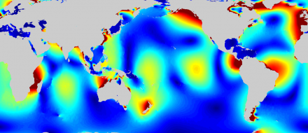
- Based on a global database which contains tidal constituents derived from longterm satellite observations, we provide tidal predictions of water levels and currents.
- Additional tidal data (measured waterlevels) is available for many stations worldwide
Oceanographic data
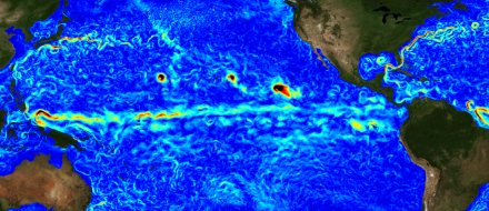
- We provide oceanic reanalysis data at an arbitrary location or field extracted from a global 1/12 degree resolution ocean model, covering the period 1992 to date at daily intervals.
- This data includes vertical profiles or surface data of sea surface height, current u- and v velocity components, sea water temperature, salinity and ice cover.
- In addition to archived (historical) data, we have access to global oceanic forecasts up to 168 hrs ahead.
Atmospheric model data
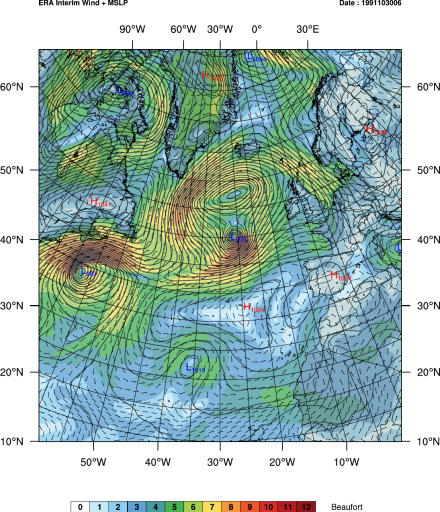
- Longterm reanalysis atmospheric model data on a global grid produced by atmospheric model (ECMWF, NOAA) are available as from January 1979 to date.
- Grid resolutions are 0.3 x 0.3 degree grid for the period until 2011 and 0.2 x 0.2 degree grid as from 2011 to date.
- This data includes wind- and pressure fields and many other meteorological parameters, such as air temperature, precipitation, etc.
- In addition to archived (historical) data, we have access to global atmospheric forecasts up to 168 hrs ahead.
- For regional models, we’re able to provide higher resolution wind fields (typically at 27, 9 or 3km resolution), produced with WRF to take into account e.g. local orographic effects. We use these higher resolution wind fields in our hindcast (wind, waves, currents) studies.


